Polylines
Encode and decode Google Polylines. To use it:
Polylines.encode([{lat: 38.5, lng: -120.2}, {lat: 40.7, lng: -120.95}])
Polylines.encode([[38.5, -120.2], [40.7, -120.95]])
Polylines.encode([{38.5, -120.2}, {40.7, -120.95}])
# => "_p~iF~ps|U_ulLnnqC"

Polylines.decode("_p~iF~ps|U_ulLnnqC")
# => [{lat: 38.5, lng: -120.2}, {lat: 40.7, lng: -120.95}]
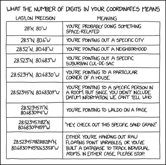
You can also set precision in both methods as the second positionnal argument It will correspond to the number of values after the comma.
Please do not set precision to more than 10...
Constants
VERSION = "0.2.0"
Instance methods
decode(polyline : String, precision : UInt8 = 5) : Array(Location)
Decode a polyline string to an array of tuple {lat:, lng:}.
The precision corresponds to the number of values after the
comma, usually between 0 and 9.
encode(points : Array(LooseLocation), precision : UInt8 = 5) : String
Encode an array of tuple {lat:, lng:} to a polyline string.
The precision corresponds to the number of values after the
comma, usually between 0 and 9